AURIN is set to lead major new national research initiatives on urban climate risk and coastal monitoring, boosting Australia’s capacity for climate resilience, evidence-based planning and long-term decision-making.
Category Archives: Urban Development
AURIN, AURIN Network, Blog, Built Environment and Infrastructure, Data, Environment, Government, Health, Housing, Industry, Land Use, Latest News, News, Research Impact, Resources for Research, Statistics, Sustainability, Urban Development
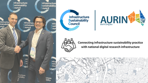
AURIN and Infrastructure Sustainability Council (ISC) partner to strengthen sustainable infrastructure research impact
11
Jun
Jun
AURIN now offers Healthdirect Australia’s 2025 NHSD through the ADP, giving researchers geocoded health service data to map access, equity, and resilience across Australia.

25
Feb
Feb
Us versus Them is an interactive AURIN Data Tale exploring how anonymised human mobility data can be used to map the geographic distribution of supporters of Melbourne based AFL teams. Drawing on privacy protected, aggregated mobility data from DSpark and accessed through AURIN’s national digital research infrastructure, this Data Tale analyses location and loyalty of AFL supporters

30
Jan
Jan
If a picture tells a thousand words, a map can tell a million. AURIN is developing a series of interactive story telling maps – AURIN Data Tales – to highlight the data access and analytics capability we offer and provide real-world examples of urban challenges, presented in an engaging way to inspire further research and […]
AURIN, AURIN Network, AusEnHealth, Blog, Built Environment and Infrastructure, Data, Environment, Government, Health, Latest News, News, Research Impact, Resources for Research, Sustainability, Urban Development
Research Impact: Improving spatial analysis for disease risk detection: A COVID-19 case study

23
Jan
Jan
During COVID-19, public health agencies relied heavily on data to understand where the virus was spreading and who was most at risk. While robust data have long underpinned decision-making, the pandemic reinforced that statistical factors – such as how data are grouped, how geographical boundaries are defined, and how granular the data are – can […]
AURIN, AURIN Network, Blog, Built Environment and Infrastructure, Data, Economics, Environment, Government, Housing, Industry, Land Use, Latest News, Research Impact, Resources for Research, Sustainability, Urban Development
Research Impact: AURIN data and infrastructure shaping a more sustainable urban future

17
Dec
Dec
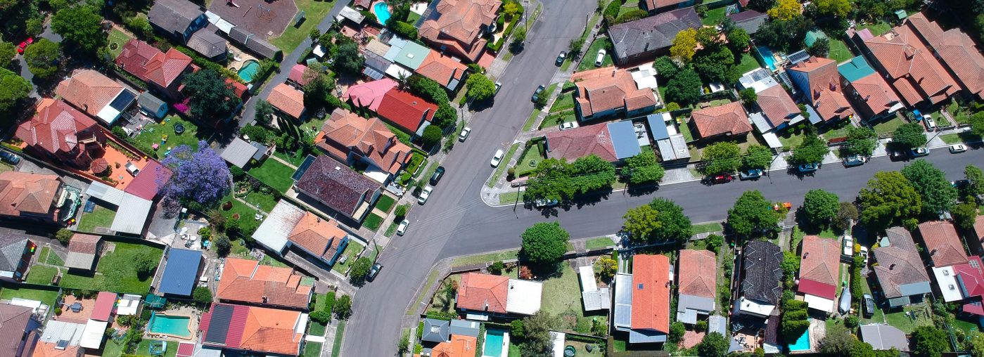
Densifying the great Australian dream Owning a home is the great Australian dream. But as Australia’s population continues to grow, understanding how to plan and deliver housing is more important than ever. Urban planning therefore plays a critical role in government and industry decision-making, shaping where and how people live. Emeritus Professor Peter Newton […]
02
Dec
Dec
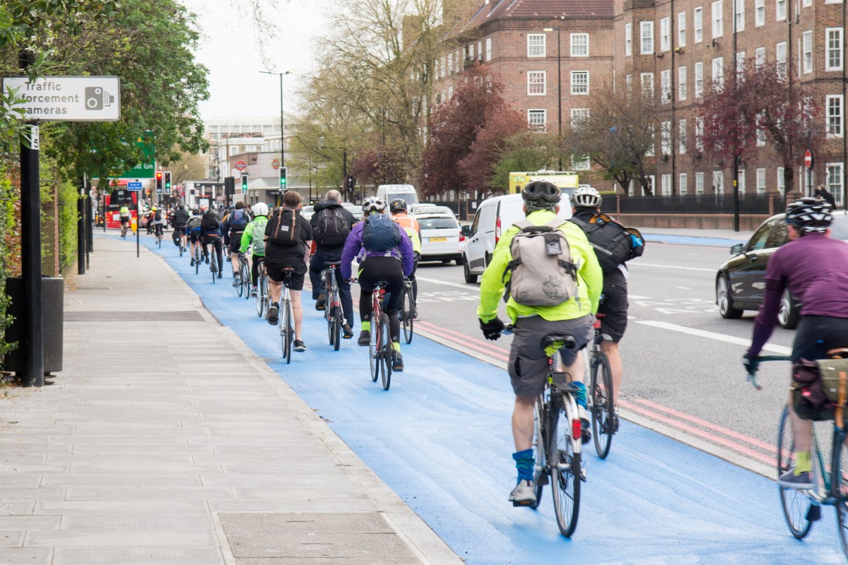
Across Australia, cities are looking for safer, easier ways to support cycling. ‘Bikeability’ describes how well an area supports cycling through its infrastructure, safety, environment and access to everyday destinations. But understanding what actually makes an area ‘bikeable’ is not straightforward. Until now, studies have used different definitions, indicators, and modelling approaches to explore bikeability, […]

26
Jul
Jul
The Australian Urban Research
Infrastructure Network (AURIN) and The University of Queensland have launched
URBANIQ – the AURIN Node for Urban Intelligence for Healthy & Equitable Places.
URBANiQ brings together researchers across The University of Queensland with expertise in health, health inequities, urban planning, geography, transport, and social sciences.
URBANiQ will harness AURIN mobility, environmental, and health data to respond to policy-led challenges to understand how the places we live, work, and socialise can promote urban liveability, facilitate healthy behaviour, and promote equity and sustainability.

29
Aug
Aug
Using data available through AURIN, as well as Westgate and EPA (Environment Protection Authority Victoria) monitor data, researchers from the University of Queensland and the University of Melbourne have raised concerns about the impact of emissions from truck traffic on childhood asthma rates in Melbourne’s Inner West. Clare Walter, Peter D Sly, Brian W Head, […]
29
May
May
At a critical moment for housing policy and planning in Australia, UNSW on behalf of AURIN and Australian Research Data Commons has been awarded a two-year, $1 million grant by the office of the NSW Chief Scientist. This grant will allow for the development of the Housing Analytics Lab (HAL), a hybrid facility designed to […]