
The latest Map of the Month, by project leaders Dr Thami Croeser (RMIT University) and Professor Michele Acuto (University of Melbourne), focuses on the impact of asphalt and concrete on urban heat islands, a phenomena which causes urban areas to be 4-10 degrees hotter than rural areas. With global temperatures continuing to rise, finding a […]
Category Archives: Urban Development
01
May
May
In May 2024 we’re excited to have members of our team attending two major industry events – the Geospatial Council of Australia’s Locate24 in Sydney and PIA’s Planning Congress in Melbourne. We’ll have an exhibition booth at both events, where you can meet experts from our team and learn more about how we can support […]

29
Apr
Apr
We’re so happy to announce our new Noise Mapping Datasets, developed in partnership with Ambient Maps and Geoscape Australia. Created by acoustic modelling experts, the datasets reimagine noise mapping in Australia—offering invaluable insights on the impact of noise on the urban environment. The datasets contain noise levels for each building throughout most of Australia. Noise values are generated […]
08
Apr
Apr
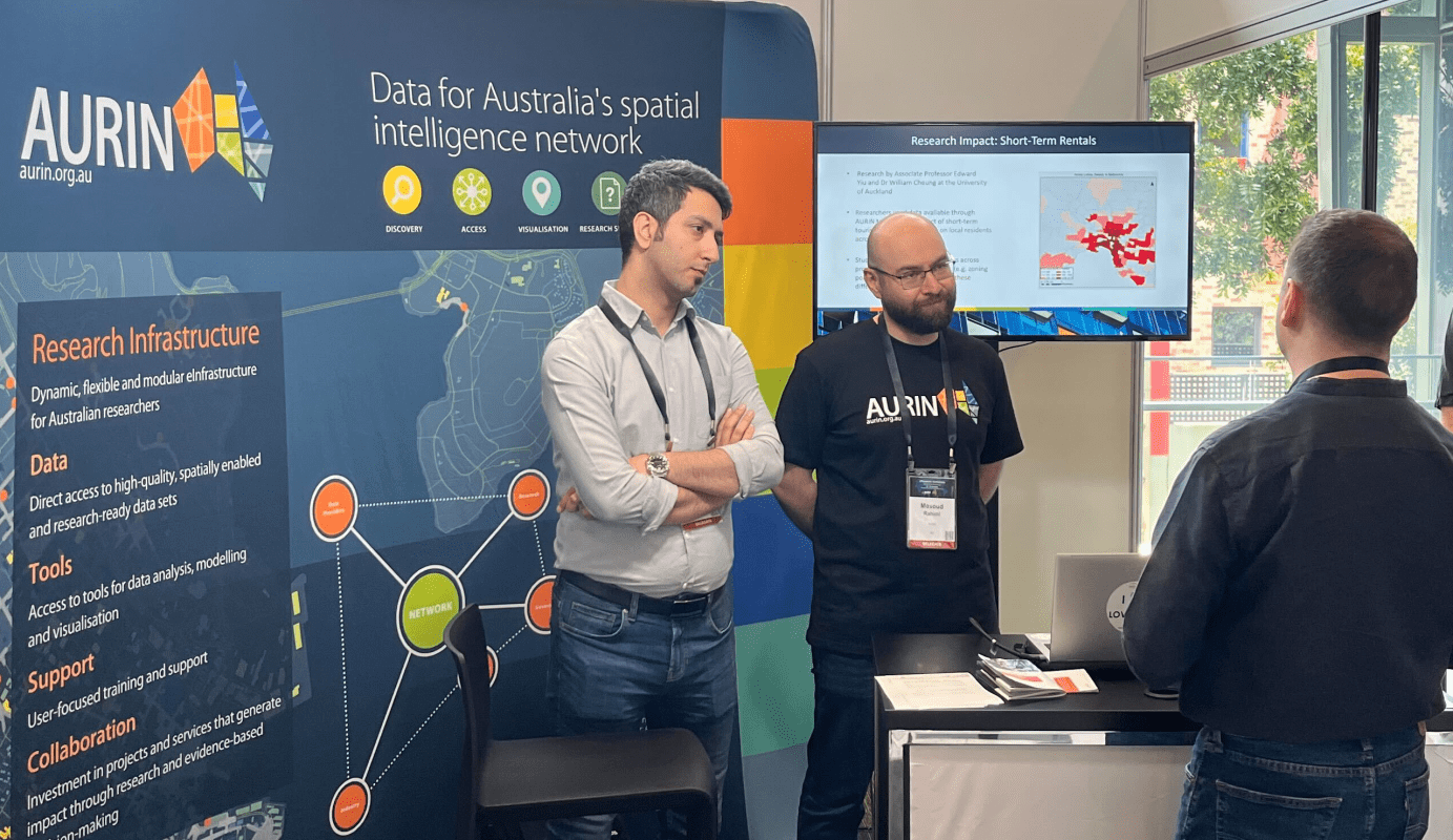
We’re so happy to be part of the Map of the Month initiative—a science communications project led by the University of Melbourne, in collaboration with AURIN, Melbourne Centre for Cities, Melbourne Data Analytics Platform, and Pursuit. The goal of the project is to use maps as a tool to initiate important policy discussion within Metropolitan […]

23
Jan
Jan
Using cycling infrastructure data made available through AURIN, as well as data from Vicroads, the Victorian Government and the researchers’ own survey data, researchers at Monash University have conducted a study of the role of neighbourhood design in cycling activity during Melbourne’s Covid-19 lockdowns. Naseri, Delbosc and Kamruzzaman’s (2023) study, ‘The role of neighbourhood design […]

14
Jun
Jun
Ambient Maps, a leader in noise modelling geospatial data and analytics, and AURIN have announced a partnership to deliver advanced geospatial intelligence to urban planners and researchers. The partnership will leverage Ambient Maps’ expertise in noise modelling, data acquisition and processing and AURIN’s extensive data resource management and infrastructure capabilities. It will provide researchers from […]

17
Oct
Oct
A digital twin is a virtual model designed to accurately represent a real world process or system. Urban digital twins provide a representation of our built environment, including infrastructure services and social dimensions, for data analytics and simulations that can be updated as their equivalents change. Digital twins can be used to test scenarios and […]

04
Oct
Oct
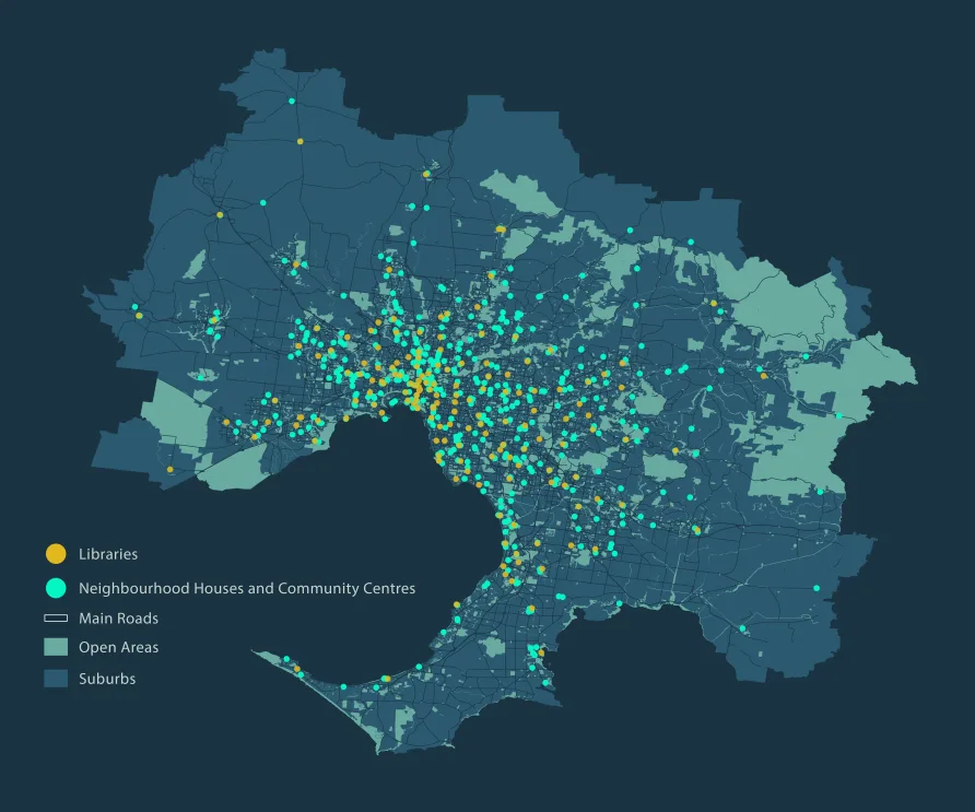
Using APM (Australian Property Monitors) Point Level Data and the Inside Airbnb dataset available through AURIN, researchers at the University of Auckland have assessed the impact of short-term tourism rentals, in particular, those through Airbnb, on rental prices across different suburbs in Melbourne, Australia. Cheung & Yiu’s (2022) study ‘Touristification, Airbnb and the tourism-led rent […]

19
May
May
As extreme weather events increase it’s vitally important to identify populations who are vulnerable to extreme heat, particularly those living in urban areas. Many urban areas have higher temperatures than rural areas, a direct result of urbanisation, which is referred to as an ‘urban heat island’. This is even more crucial in Australian context, which […]

31
Mar
Mar
Map of Melbourne showing the VAMPIRE score (the Vulnerability Analysis for Mortgage, Petroleum and Inflation Risks and Expenditure), available via the AURIN Map portal. The rising cost of living is causing economic pain across Australia. The soaring price of petrol is impacting not just our commutes but also the costs of goods and services. This […]