AURIN now offers Healthdirect Australia’s 2025 NHSD through the ADP, giving researchers geocoded health service data to map access, equity, and resilience across Australia.
AURIN, AURIN Network, Blog, Built Environment and Infrastructure, Data, Environment, Government, Health, Housing, Industry, Land Use, Latest News, News, Research Impact, Resources for Research, Statistics, Sustainability, Urban Development
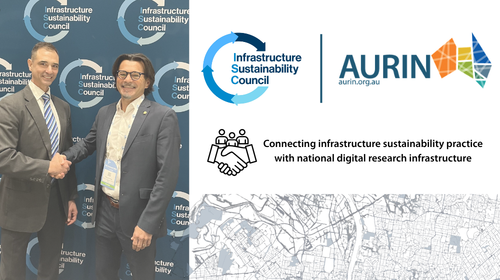
AURIN and Infrastructure Sustainability Council (ISC) partner to strengthen sustainable infrastructure research impact
11
Jun
Jun