AURIN is set to lead major new national research initiatives on urban climate risk and coastal monitoring, boosting Australia’s capacity for climate resilience, evidence-based planning and long-term decision-making.
Category Archives: Land Use
AURIN, AURIN Network, Blog, Built Environment and Infrastructure, Data, Environment, Government, Health, Housing, Industry, Land Use, Latest News, News, Research Impact, Resources for Research, Statistics, Sustainability, Urban Development
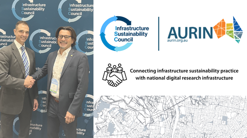
AURIN and Infrastructure Sustainability Council (ISC) partner to strengthen sustainable infrastructure research impact
11
Jun
Jun
AURIN now offers Healthdirect Australia’s 2025 NHSD through the ADP, giving researchers geocoded health service data to map access, equity, and resilience across Australia.
AURIN, AURIN Network, Blog, Built Environment and Infrastructure, Data, Economics, Environment, Government, Housing, Industry, Land Use, Latest News, Research Impact, Resources for Research, Sustainability, Urban Development
Research Impact: AURIN data and infrastructure shaping a more sustainable urban future

17
Dec
Dec
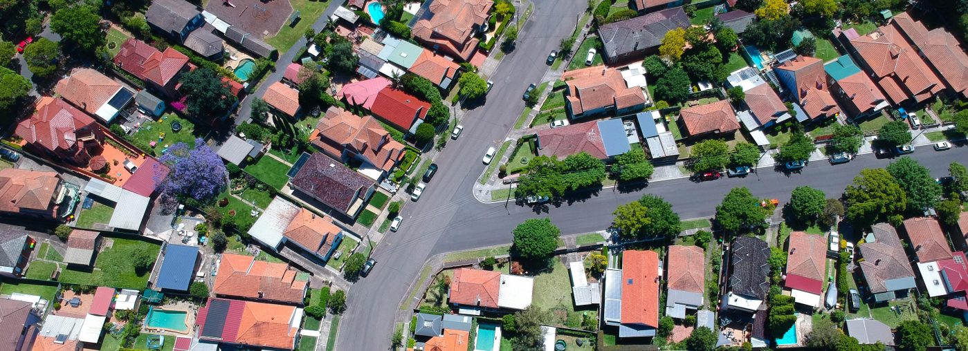
Densifying the great Australian dream Owning a home is the great Australian dream. But as Australia’s population continues to grow, understanding how to plan and deliver housing is more important than ever. Urban planning therefore plays a critical role in government and industry decision-making, shaping where and how people live. Emeritus Professor Peter Newton […]
02
Dec
Dec
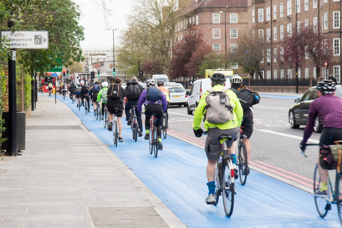
Across Australia, cities are looking for safer, easier ways to support cycling. ‘Bikeability’ describes how well an area supports cycling through its infrastructure, safety, environment and access to everyday destinations. But understanding what actually makes an area ‘bikeable’ is not straightforward. Until now, studies have used different definitions, indicators, and modelling approaches to explore bikeability, […]
29
May
May
At a critical moment for housing policy and planning in Australia, UNSW on behalf of AURIN and Australian Research Data Commons has been awarded a two-year, $1 million grant by the office of the NSW Chief Scientist. This grant will allow for the development of the Housing Analytics Lab (HAL), a hybrid facility designed to […]
01
May
May
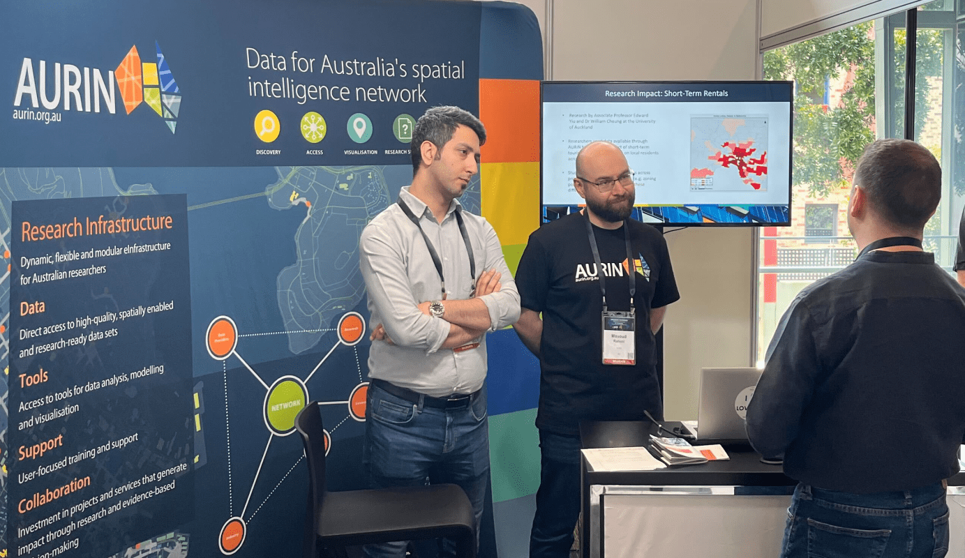
In May 2024 we’re excited to have members of our team attending two major industry events – the Geospatial Council of Australia’s Locate24 in Sydney and PIA’s Planning Congress in Melbourne. We’ll have an exhibition booth at both events, where you can meet experts from our team and learn more about how we can support […]

29
Apr
Apr
We’re so happy to announce our new Noise Mapping Datasets, developed in partnership with Ambient Maps and Geoscape Australia. Created by acoustic modelling experts, the datasets reimagine noise mapping in Australia—offering invaluable insights on the impact of noise on the urban environment. The datasets contain noise levels for each building throughout most of Australia. Noise values are generated […]
08
Apr
Apr
We’re so happy to be part of the Map of the Month initiative—a science communications project led by the University of Melbourne, in collaboration with AURIN, Melbourne Centre for Cities, Melbourne Data Analytics Platform, and Pursuit. The goal of the project is to use maps as a tool to initiate important policy discussion within Metropolitan […]

04
Oct
Oct
Using APM (Australian Property Monitors) Point Level Data and the Inside Airbnb dataset available through AURIN, researchers at the University of Auckland have assessed the impact of short-term tourism rentals, in particular, those through Airbnb, on rental prices across different suburbs in Melbourne, Australia. Cheung & Yiu’s (2022) study ‘Touristification, Airbnb and the tourism-led rent […]

21
Jun
Jun
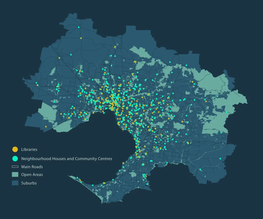
AURIN has funded new critical eInfrastructure for open space research, generating new, nationally consistent, data and improving existing analysis and visualisation tools. This will enable Australia’s research community to address complex urban and regional planning issues in Australia and find solutions that create positive impacts for our towns, cities and communities. Public open spaces are […]
- 1
- 2