AURIN is set to lead major new national research initiatives on urban climate risk and coastal monitoring, boosting Australia’s capacity for climate resilience, evidence-based planning and long-term decision-making.
Category Archives: Sustainability
AURIN, AURIN Network, Blog, Built Environment and Infrastructure, Data, Environment, Government, Health, Housing, Industry, Land Use, Latest News, News, Research Impact, Resources for Research, Statistics, Sustainability, Urban Development
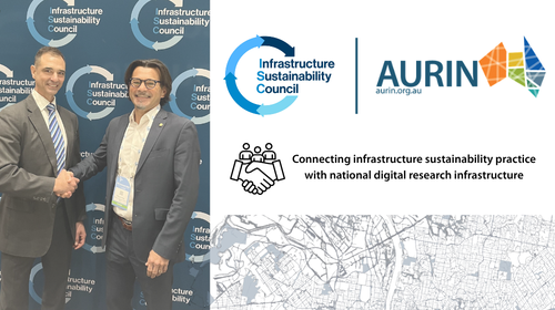
AURIN and Infrastructure Sustainability Council (ISC) partner to strengthen sustainable infrastructure research impact
11
Jun
Jun
AURIN now offers Healthdirect Australia’s 2025 NHSD through the ADP, giving researchers geocoded health service data to map access, equity, and resilience across Australia.
AURIN, AURIN Network, AusEnHealth, Blog, Built Environment and Infrastructure, Data, Environment, Government, Health, Latest News, News, Research Impact, Resources for Research, Sustainability, Urban Development
Research Impact: Improving spatial analysis for disease risk detection: A COVID-19 case study

23
Jan
Jan
During COVID-19, public health agencies relied heavily on data to understand where the virus was spreading and who was most at risk. While robust data have long underpinned decision-making, the pandemic reinforced that statistical factors – such as how data are grouped, how geographical boundaries are defined, and how granular the data are – can […]
AURIN, AURIN Network, Blog, Built Environment and Infrastructure, Data, Economics, Environment, Government, Housing, Industry, Land Use, Latest News, Research Impact, Resources for Research, Sustainability, Urban Development
Research Impact: AURIN data and infrastructure shaping a more sustainable urban future

17
Dec
Dec
Densifying the great Australian dream Owning a home is the great Australian dream. But as Australia’s population continues to grow, understanding how to plan and deliver housing is more important than ever. Urban planning therefore plays a critical role in government and industry decision-making, shaping where and how people live. Emeritus Professor Peter Newton […]
02
Dec
Dec
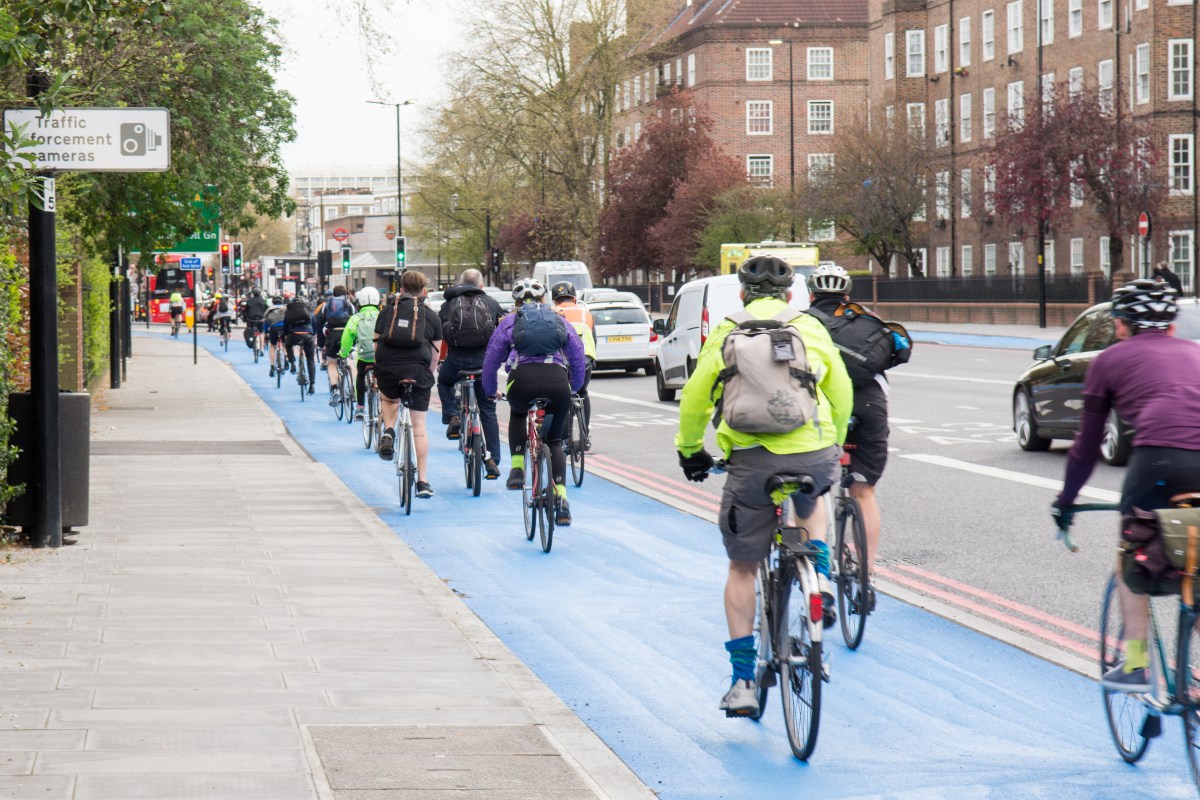
Across Australia, cities are looking for safer, easier ways to support cycling. ‘Bikeability’ describes how well an area supports cycling through its infrastructure, safety, environment and access to everyday destinations. But understanding what actually makes an area ‘bikeable’ is not straightforward. Until now, studies have used different definitions, indicators, and modelling approaches to explore bikeability, […]

12
Sep
Sep
The Australian Urban Research
Infrastructure Network (AURIN) and The University of Queensland have launched
URBANIQ – the AURIN Node for Urban Intelligence for Healthy & Equitable Places.
URBANiQ brings together researchers across The University of Queensland with expertise in health, health inequities, urban planning, geography, transport, and social sciences.
URBANiQ will harness AURIN mobility, environmental, and health data to respond to policy-led challenges to understand how the places we live, work, and socialise can promote urban liveability, facilitate healthy behaviour, and promote equity and sustainability.

06
Mar
Mar
Image: Professor Sharon Biermann (Director of PATREC) and Professor Pascal Perez (Director of AURIN) We are excited to announce our first AURIN Node, in partnership with the Planning and Transport Research Centre (PATREC) and located at the University of Western Australia (UWA). The AURIN WA Node is the product of our long-standing relationship with PATREC […]
21
Nov
Nov
We’re delighted to share that Dr. Aiden Price (QUT Senior Research Associate and AURIN Environmental Health Domain Expert), Annie Wu (AURIN Associate Data Engineer), Flavia Barar (AURIN Data Scientist), Jiaying Kou (AURIN Product Owner) and Emma Joughin (AURIN Head of Marketing) have won their thematic category in the UN World Data Forum’s 2024 ArcGIS StoryMaps […]

08
May
May
The latest Map of the Month, by project leaders Dr Thami Croeser (RMIT University) and Professor Michele Acuto (University of Melbourne), focuses on the impact of asphalt and concrete on urban heat islands, a phenomena which causes urban areas to be 4-10 degrees hotter than rural areas. With global temperatures continuing to rise, finding a […]
23
Jan
Jan
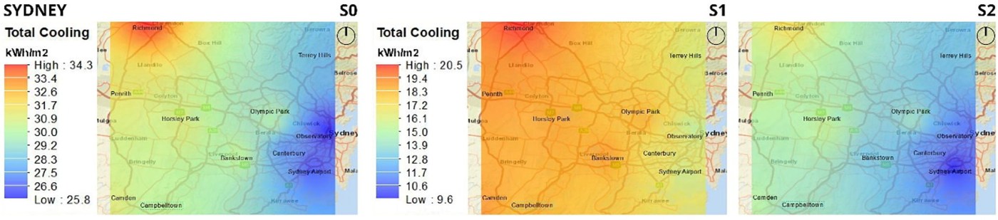
Urban heat islands are a significant environmental problem faced by cities worldwide. Higher urban temperatures can impact communities in a number of ways—increasing the concentration of air pollution, impairing water quality, increasing the demand for electricity, and causing heat-related morbidity and mortality. Urban overheating impacts low-income populations more since these populations often live in lower […]
- 1
- 2