

Explore AURIN and our network at Locate26, with sessions on public-sector AI, environmental health, urban heat and the future of geospatial, plus the presentation of the Peter Woodgate Award.
Category Archives: AURIN Network

29
Oct
Oct
New data available through AURIN maps estimated fine particle pollution across metropolitan Melbourne at 100-metre resolution, supporting research into air quality, population exposure and the built environment.
28
Oct
Oct
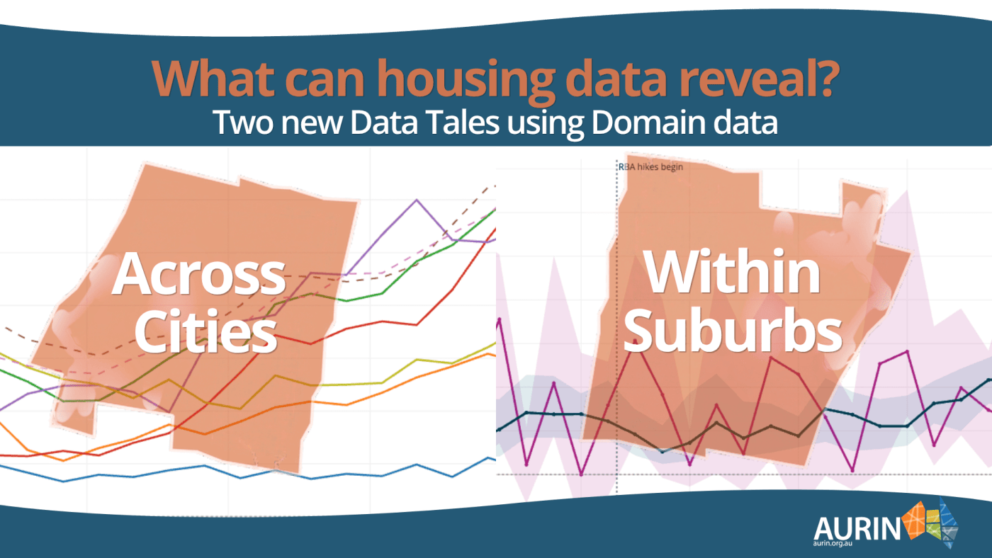
From trends across Australian cities to differences between Melbourne suburbs, two new Data Tales show how researchers can use Domain property data through AURIN.

23
Oct
Oct
Discover how AURIN is helping researchers turn data into insight and demonstrate impact, with three presentations and a Birds of a Feather discussion at eResearch Australasia 2026.
Announcements, AURIN, AURIN Network, Blog, Built Environment and Infrastructure, Data, Demographics, Economics, Energy and Water, Environment, Government, Health, High Impact Projects, Housing, Industry, Latest News, News, Node, Regional, Research Impact, Resources for Research, Socioeconomics, Statistics, Sustainability, Transport, Urban Development
New Pilot AURIN Edge Program to Help Urban Research Move Further, Faster

01
Oct
Oct
AURIN Edge has opened its inaugural pilot round, giving eligible Australian researchers time-limited access to hard-to-get data and expert support. The program is designed to help projects with an identified user and a clear path to practical impact move forward.
Announcements, AURIN Network, Blog, Built Environment and Infrastructure, Data, Demographics, Economics, Energy and Water, Environment, Government, Health, Housing, Industry, Land Use, Latest News, News, Regional, Socioeconomics, Sustainability, Transport, Urban Development
Federal Investment in Research Infrastructure: Generating $1.5 Billion Value Annually.

08
Sep
Sep
AURIN is set to lead major new national research initiatives on urban climate risk and coastal monitoring, boosting Australia’s capacity for climate resilience, evidence-based planning and long-term decision-making.
19
Aug
Aug
The new AURIN and Nearmap Data partnership is giving researchers access to high-resolution aerial imagery and 3D data, helping them better understand Australia’s cities, infrastructure and climate risks.

19
Jun
Jun
AURIN is set to lead major new national research initiatives on urban climate risk and coastal monitoring, boosting Australia’s capacity for climate resilience, evidence-based planning and long-term decision-making.
AURIN, AURIN Network, Blog, Built Environment and Infrastructure, Data, Environment, Government, Health, Housing, Industry, Land Use, Latest News, News, Research Impact, Resources for Research, Statistics, Sustainability, Urban Development
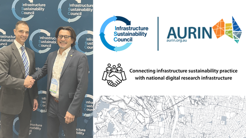
AURIN and Infrastructure Sustainability Council (ISC) partner to strengthen sustainable infrastructure research impact
11
Jun
Jun
AURIN now offers Healthdirect Australia’s 2025 NHSD through the ADP, giving researchers geocoded health service data to map access, equity, and resilience across Australia.

08
May
May
Read Spatial Source’s two-part interview series with AURIN Director Professor Pascal Perez exploring the future of urban digital research infrastructure, AI, hard-to-access datasets, digital twins, and the national challenges shaping Australia’s cities, housing, climate, and energy transition.