
From April to June 2024, AURIN was cited in a wide variety of material, including in eight papers published in peer-reviewed journals and two theses submitted for PhD programs. AURIN and datasets available through AURIN were used by researchers across Australia and internationally to inform analysis on residential mobility, road accident mitigation, school travel and […]
Category Archives: Data

23
Jun
Jun
While most of us are sleeping night-shift workers are keeping our cities running. They work as healthcare professionals, emergency responders, public transport operators, cleaners, hospitality staff. And they’re the ones making sure our hospitals function, our streets are safe and that our essential services are available. They also play in important role in making sure […]

11
Jun
Jun
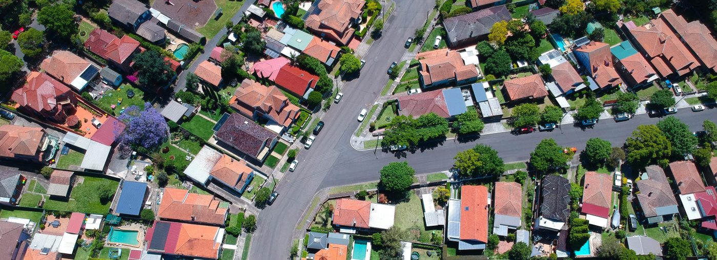
The 20-minute neighbourhood is a concept that evolved from the idea of the 15-minute city. The idea is that almost anything you need to access on a day-to-day basis—work, shopping, education, childcare, health services, green spaces and entertainment—should be within a 20 minute walk or bike ride from your house. 20-minute neighbourhoods feature in many […]

03
Jun
Jun
Last month, AURIN and the Geospatial Council of Australia had the honour of presenting the Peter Woodgate Award to Glenn Cockerton. The Peter Woodgate Award was created in memory of Dr Peter Woodgate, who served as Chair of AURIN’s board as well as President of the Geospatial Council. It recognises an Australian-based individual or team […]
29
May
May
At a critical moment for housing policy and planning in Australia, UNSW on behalf of AURIN and Australian Research Data Commons has been awarded a two-year, $1 million grant by the office of the NSW Chief Scientist. This grant will allow for the development of the Housing Analytics Lab (HAL), a hybrid facility designed to […]
16
May
May
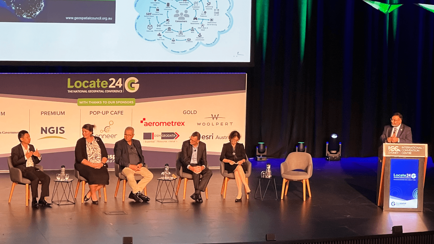
Last week Locate24 took place in Sydney, where it was great to have the chance to share knowledge across the geospatial sector in Australia. As part of the awards ceremony, AURIN had the honour of co-presenting this year’s Peter Woodgate Award, a prize created with the Geospatial Council of Australia in memory of Peter, a […]

08
May
May
The latest Map of the Month, by project leaders Dr Thami Croeser (RMIT University) and Professor Michele Acuto (University of Melbourne), focuses on the impact of asphalt and concrete on urban heat islands, a phenomena which causes urban areas to be 4-10 degrees hotter than rural areas. With global temperatures continuing to rise, finding a […]
01
May
May
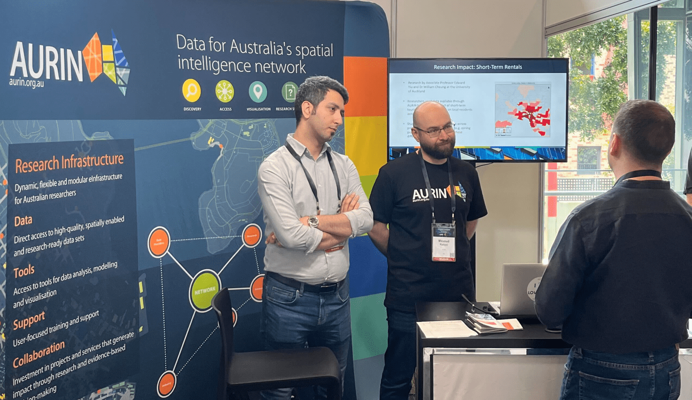
In May 2024 we’re excited to have members of our team attending two major industry events – the Geospatial Council of Australia’s Locate24 in Sydney and PIA’s Planning Congress in Melbourne. We’ll have an exhibition booth at both events, where you can meet experts from our team and learn more about how we can support […]

29
Apr
Apr
We’re so happy to announce our new Noise Mapping Datasets, developed in partnership with Ambient Maps and Geoscape Australia. Created by acoustic modelling experts, the datasets reimagine noise mapping in Australia—offering invaluable insights on the impact of noise on the urban environment. The datasets contain noise levels for each building throughout most of Australia. Noise values are generated […]
08
Apr
Apr
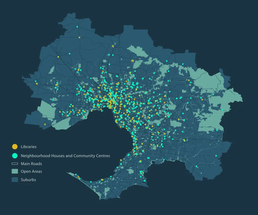
We’re so happy to be part of the Map of the Month initiative—a science communications project led by the University of Melbourne, in collaboration with AURIN, Melbourne Centre for Cities, Melbourne Data Analytics Platform, and Pursuit. The goal of the project is to use maps as a tool to initiate important policy discussion within Metropolitan […]