Across Australia, cities are looking for safer, easier ways to support cycling. ‘Bikeability’ describes how well an area supports cycling through its infrastructure, safety, environment and access to everyday destinations. But understanding what actually makes an area ‘bikeable’ is not straightforward. Until now, studies have used different definitions, indicators, and modelling approaches to explore bikeability, resulting in inconsistent findings that are hard for planners to apply.
Researchers at the University of Queensland set out to change that. Supported by funding and spatial data from AURIN, they examined what truly drives bikeability and how it can be measured consistently across cities. As project lead, Senior Lecturer Scott Lieske explained,
“Everyone measures bikeability differently, which means it’s hard for planners to know what really matters. Our goal was to build a clearer picture, backed by real data.”
What drives bikeability?
The team began by exploring the foundations of bikeability: what it means, how it’s been measured, and which factors matter most. Drawing on literature and city-scale datasets, they identified 4 core components – infrastructure, safety, ambient environment and accessibility – and analysed how these relate to real cycling activity.
Using AURIN’s nationally consistent datasets, the researchers mapped indicators such as bikeway density, traffic conditions, land use and access to destinations. This created a clearer picture of bikeability as a system, with each component playing an important but unique role.
Using machine learning to uncover what matters most
To determine which factors have the greatest influence, the research team applied 3 machine learning models to analyse 10 indicators across the 4 core components of infrastructure, safety, environment and accessibility. They compared the results against real cycling activity in Sydney, sourced from the RiderLog app.
The findings across the models were consistent. Four indicators emerged as the strongest drivers of cycling levels:
- destination accessibility
- air quality
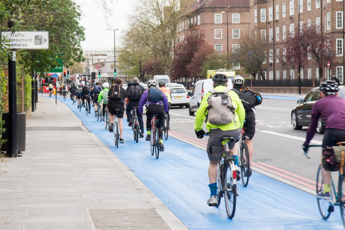
- bikeway separation from traffic
- bikeway density.
These results show where cities can make the biggest difference: strengthening access to destinations, separating cyclists from cars, building connected networks, and improving environmental conditions. “For the first time, we could see which indicators genuinely explain cycling behaviour,” said Scott. Validation against City of Sydney bicycle count data showed strong alignment between predicted bikeability and observed ridership.
Delving deeper into accessibility
Because destination accessibility consistently explained the largest share of cycling behaviour, the researchers explored it in more detail. Accessibility reflects how easily people can reach shops, schools, parks, services and transport hubs by bike.
“Accessibility explained around a quarter of all variation in cycling levels in the cities we studied,” Scott said. “That gives us confidence that we’re measuring something real and meaningful for planners.”
Using AURIN’s rich spatial datasets, including land use, Points of Interest, cycling infrastructure, and network connectivity, and building on an existing accessibility model (the Cycling Accessibility Index), the team tested and refined several parts of the accessibility index. This included improving how destinations are selected and cleaned, simplifying distance calculations, and testing different spatial units.
The team tested the refined cycling accessibility index across Sydney, Melbourne and Brisbane. They found that good destination access matters far more than the amount of bike infrastructure in most neighbourhoods. They also showed that simpler modelling methods can still produce reliable results. This makes accessibility easier for planners to measure and use in decision-making.


AURIN’s essential role
AURIN’s funding and spatial datasets were central to the research, underpinning both the machine learning models and accessibility analysis.
“AURIN gave us the spatial foundations to make this possible,” said Scott. “Clean, consistent datasets meant we could test our ideas across multiple cities, not just in one specific context.”
Turning evidence into planning tools
This research delivers one of the most empirically tested and consistent approaches to bikeability modelling in Australia. By identifying the factors that matter most (especially destination access), it gives decision-makers a clearer way to understand where cycling is supported and where improvements and investments are needed.
“Better data and better models help us design better cities,” said Scott. “This research is a stepping stone toward safer cycling networks, healthier communities, and more liveable urban environments.”
The work supports future national cycling analytics and lays the foundation for a potential future bikeability assessment tool that could sit alongside AURIN’s existing resources. The National Cycling Data Analytics Platform (NCDAP), also supported by AURIN, offers a possible pathway to build on this work. The NCDAP is an open, user-friendly platform that provides access to national cycling datasets and interactive tools for assessing new cycling infrastructure. It provides the national data environment and technical infrastructure needed to potentially support a future bikeability tool.
The researcher team published these findings in the Journal of Transport Geography February 2025.