Years of investment in road infrastructure has changed cities, increasing air pollution, traffic congestion, segregation of urban spaces, and reducing the physical activity of the people living there. Reducing the reliance on cars and other motorised vehicles is key to addressing these issues.
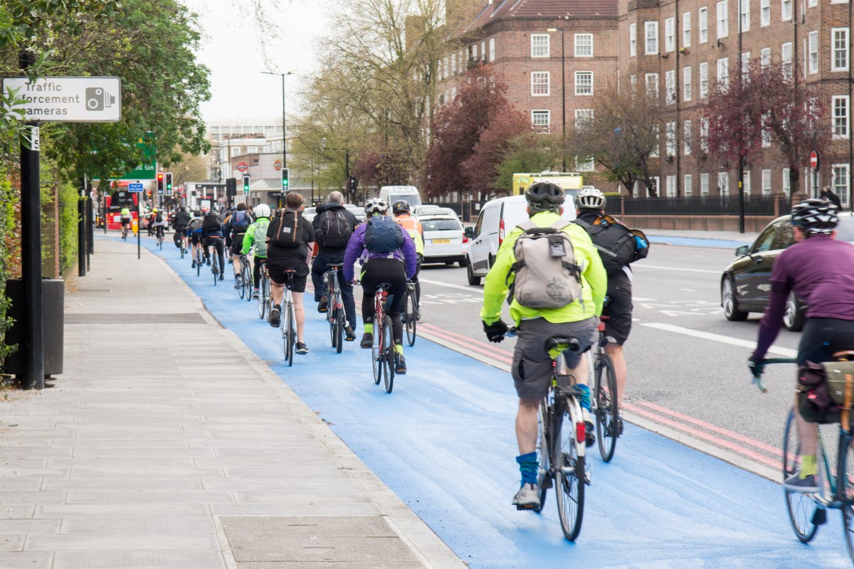
Bike riding is a sustainable and affordable alternative to driving, and cities around the world are looking at how to develop better bike networks. New and improved bicycling infrastructure needs investment from all levels of government and is often constrained by budget. Given this, it’s important to know the impact of any changes before the infrastructure is implemented.
Researchers at the University of New South Wales have developed a simple Agent-Based Model (ABM) to support the planning of new bicycling infrastructure. The model simulates the movements of bike riders in response to the existing built environment and user designed scenarios.
Agent-Based modelling is a method that looks at the individual components (or ‘agents’) of a system. These ‘agents’ could be people, households, vehicles, equipment, or anything else that’s relevant to the system. Once the ‘agents’ have been identified, the connections between them are established, environmental variables are set, and the simulations are run.
ABMs can be widely applied to predict the impact of social or environmental influences on individuals in urban environments. By simulating people’s behaviour in the built environment, valuable insights can be gained to assist urban and transport planners.
Parisa Zare, along with her colleagues Associate Professor Simone Leao, Dr Ori Gudes and Professor Chris Pettit, developed their ABM using the GAMA platform (open-source software for modelling environments) and used Penrith City in Greater Sydney as a test area. Penrith was chosen for a number of reasons, one of which was that the city planners were keen to participated in developing and testing the model.
The model simulates how bike riders move through urban streets. It was designed to replicate riders’ route choices between their home and place of work to find the most used path and seeing how it was influenced by the built environment and the characteristics of the road.

They used data from STRAVA, Riderlog, and urban datasets and tools from AURIN. AURIN’s tools were applied to commercial, parkland, education, residential, and hospital land uses aggregated to Australian Bureau of Statistics (ABS) Statistical Area 1 (SA1) boundaries. The team also used AURIN to count the number of three-way (or more) intersections in each SA1, as well as AURIN’s gross density tool, which is based on residential population and dwellings per ABS mesh block.
The built environment can play a big part in both encouraging and discouraging people from riding their bikes. Understanding exactly how the urban environment influences people is vitally important when planning changes and development of infrastructure.
The model developed by Ms Zare and her colleagues provides a strong starting point to support urban planners as they investigate different bike network designs. By shifting the focus from road infrastructure to bike infrastructure we can create healthier and more sustainable urban environments.